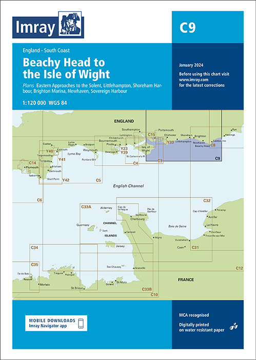
Imray chart C9 Beachy Head to Isle of Wight
British Isles and Northwest Europe | C Series
English:
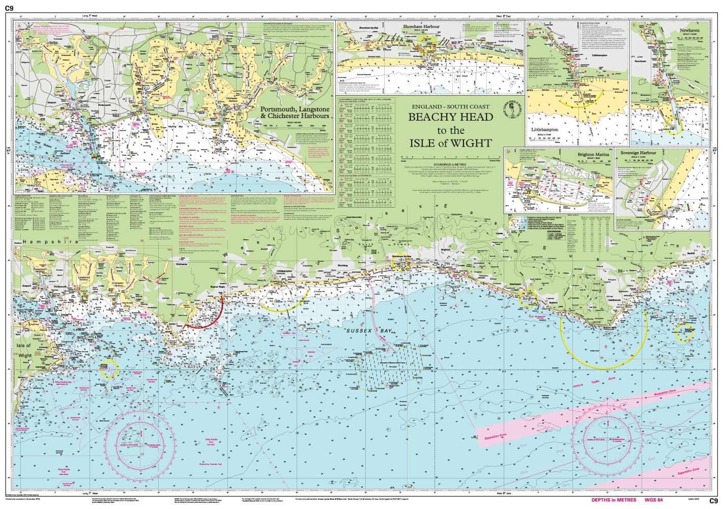
The English coast from Beachy Head to the Isle of Wight. Minute gridlines. Scale: 1 : 112.000. Larger scale plans of Portsmouth Harbour, Shoreham, Newhaven, Littlehampton, Brighton Marina and Sovereign harbour. Tidal stream diagrams.
Detailed plans or insets include:
- Portsmouth, Langstone and Chichester Harbours (Scale: 1 : 55.000)
- Littlehampton (Scale: 1 : 13.500)
- Shoreham Harbour (Scale: 1 : 20.000)
- Brighton Marina (Scale: 1 : 8.500)
- Newhaven (Scale: 1 : 16.500)
- Sovereign Harbour (Scale: 1 : 15.000)
On this edition, the latest known depths have been applied throughout the chart, particularly at Shoreham Harbour, Newhaven and Sovereign Harbour.
Imray C Series charts cover sailing areas in northwestern Europe. These series form the most comprehensive range of yachtsmen’s charts available. Suitable for passage planning and larger scale charts for navigating the coastal waters even close to shore.
About Imray Charts:
Imray charts set the standards for the leisure sector with award-winning cartography which features a distinctive colour scheme, coloured light sectors and fine overprinted latitude and longitude grids to make plotting easier. Imray Charts are based on up-to-date official surveys. These charts receive continual attention and amendment by skilled staff who monitor corrections to ensure that they are always as correct as possible when despatched.
Charts are generally reprinted annually, at which time they are corrected to date. Once a new edition has been published the old edition cannot be corrected and is unsafe for navigation and should be replaced.
Imray is based in St. Ives, England, UK.
Nearly all Imray charts are printed on Pretex, a partially synthetic paper, which folds well and is durable in damp conditions. It may be drawn on in both soft pencil and ballpoint pen. Imray charts are normally published to an approximately A4 fold format and supplied in robust PVC wallets.
All Imray charts are based on WGS 84 datum. Most charts are metric. Every chart includes details of the datum and projection on which it was based, to allow it to be used safely with satellite navigation systems. Details of the latest printing and edition dates of charts are available.
Nog niet alle beschrijvingen zijn vertaald.
Daarom staat op deze pagina de beschrijving in het Engels.